
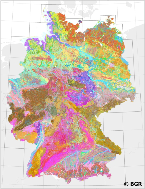
Land overview map of the Federal Republic of Germany 1:200.000 (WMS)
Web Map Service (WMS) of the BÜK200 map sheets. The soil overview map 1:200,000 (BÜK200) is compiled by the Federal Institute for Geosciences and Natural Resources (BGR) in cooperation with the State Geological Services (SGD) of the Länder in the sheet section of the topographical overview map 1:200,000 (TÜK200) and published in 55 individual map sheets. The digital, non-cutting data storage forms a detailed, nationwide uniform and comprehensive information basis for cross-border statements on land use and soil protection. The distribution and socialization of soils is currently described on a leaf-specific basis using leaf-laying units (divided by soil regions and large soil landscapes). Each legend unit contains soil systematic information (soil subtype) and information on the soil source rock for both the guide soils and their companions.
Stegger, Ulrich
Role: pointOfContact
Email: fis.bo@bgr.de
Deliverypoint: Stilleweg 2
City: Hannover
Postalcode: 30655
Country: DE
Url:
Updated: 2021-03-26
Temporal extent:
date
- png
- OGC:WMS
Language: ger
title_alternate: BÜK200 (WMS)